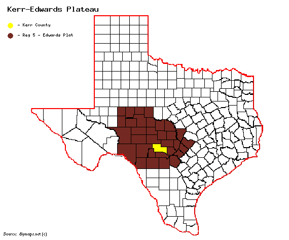
Kerr County
From Texas Century Club
Contents |
Region 5 Edwards Plateau
Previous county: Kent, Next: Kimble , All Counties: Alphabetically
Bordering counties:Northeast: Gillespie, East: Kendall, South: Bandera, Southwest: Real, West: Edwards, Northwest: Kimble
Century Clubbers
eBird Top 100
County Big Years & Big Days
eBird Hot Spots - Kerr County
Guides and Resources
- Birdinghotspots.org - Kerr County
- Kerr WMA at San Antonio Audubon.org
- Great Texas Wildlife Trails - Heart of Texas West Region at Texas Parks & Wildlife
- Heart of the Hills Loop Includes:
- The Rookery
- South Fork Marsh
- Mo-Ranch Presbyterian Assembly
- Stowers Ranch
- Kerr WMA
- Stowers Ranch Roadside on FM 340 at Boneyard Draw
- Kerrville Kayak and Canoe
- Heart of the Hills Fisheries Center
- Sunset Cemetery at Heart of the Hills Research Station
- Mountain Home Bridge
- Little Deutschland Loop Includes:
- Cypress Park & Knapp Crossing Park
- Riverside Nature Center
- Louise Hays Park & Tranquility Island
- Kerrville-Schreiner Park
- Kerr County Park at Flat Rock Lake
- Third Creek Canyon
- Dell's map of Kerr County for birding and exploring. It includes eBird Hotspots and additional potential locations, creek crossings and roads that may be productive.
Previous county: Kent, Next: Kimble
Bordering counties:Northeast: Gillespie, East: Kendall, South: Bandera, Southwest: Real, West: Edwards, Northwest: Kimble
